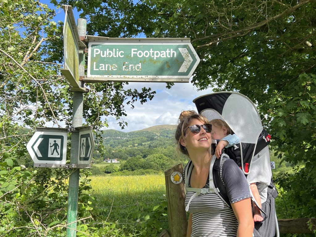
Malvern Hills National Landscape

Just back from our conference of all 46 National Landscapes in Norwich, all about the ‘vitality of place’. We went to Flatford Mill, a famous subject for John Constable’s paintings. There, they’re trying to preserve the landscape ‘picture perfect’. In the Malvern Hills, we too are running a series of art-based workshops, open to anyone. If you’re interested in joining in, then contact Juliet julietmootz@hotmail.com .
0 CommentsComment on Facebook


The Herefordshire Parklands Conference was this week, and offered top notch talks by experts and visits to some of the county’s most beautiful parks – and these included Eastnor Park, and Bromesberrow, both within the National Landscape. One talk explained how the Picturesque Landscape movement of centuries ago, with its love for dead trees and scrubby bits, was a precursor of the modern environmental movement; different aesthetic, same consequence.
0 CommentsComment on Facebook